
Tulsa Neighbors by Block
A neighbor search in Tulsa has several separate records behind it. The City of Tulsa locator places the starting address on a map. The Tulsa County Assessor identifies an assessed parcel and its recorded owner. Tulsa County Clerk documents help date transfers, while Tulsa library directories help with a past street. The City of Tulsa neighborhood resource adds association boundaries and a contact path, not a member roster. Each source answers a different question about the immediate Tulsa block.
| Block Source | What It Shows Around an Address | Tulsa Access |
|---|---|---|
| City GIS Locate | Matched address, map position, nearby parcel shapes, layers | Free City help and locator route; address required and ZIP optional. |
| Assessor property card | Parcel, owner, situs, mailing address, legal description, sale pointers | Free current property search. |
| County Clerk recorded index | Document parties, recording dates, legal-parcel details, transfers | Acclaim, historical routes, or Clerk counter depending on coverage. |
| Neighborhood map | Registered group, boundary, liaison or association contact path | City neighborhood resource; not a household directory. |
| Reverse and cross-reference directories | Published historic name and street association for a stated year | Central Library Research Center, with reverse access after 1912. |
A curb-to-curb Tulsa block is a useful map boundary, not an official resident-record unit. Common areas, condos, businesses, vacant tracts, road rights-of-way, and boundary parcels can make a visual Tulsa block look simpler than the underlying records. Verify each Tulsa parcel one at a time.
Locate a Tulsa Block First
The City of Tulsa GIS Locate help documents a Street Address field, an optional ZIP Code selector, optional coordinate entry, and a result list that may return several matches with a match score. Enter just enough of the address to find a practical set of matches, then click the correct result to zoom the map. The overview-map rectangle, layers, and printing tools help keep the first block boundary visible.
| GIS locator input | Use when identifying Tulsa neighbors |
|---|---|
| Street Address | Required starting input. Less information can return a useful group of possible matches. |
| ZIP Code | Optional filter when the address is near a postal boundary. |
| Coordinates | Optional location route when the address is uncertain. |
| Results and match score | Check the selected result before treating its map position as the starting parcel. |
The inspected City of Tulsa materials do not document a public buffer, radius, or one-click Tulsa neighbor export. Adjacent shapes on the map are a visual clue. Ownership and parcel facts still need confirmation in the Tulsa County Assessor record for each nearby Tulsa address.
Map a Tulsa Block's Parcels
Once the correct Tulsa address is located, work outward by parcel rather than making a broad people search. This sequence preserves the facts needed to distinguish the target parcel from an adjoining lot. It also leaves a Tulsa record trail that can be checked later if a map view, address, or ownership field changes.
- Locate the target address in the City of Tulsa GIS view and note which parcels appear beside, across from, and behind it.
- Open each nearby address in the Tulsa County Assessor Property Search and record the situs, parcel ID, owner, mailing address, legal description, and Sales/Documents pointer.
- Use a sale date, grantor, grantee, deed type, or document number from the property card when a recorded-transfer question needs Tulsa County Clerk confirmation.
- Move to the Tulsa streets resource when the question expands from one block to an entire named street and its address-keyed record trail.
Keep the map’s visual relationship separate from the parcel record. A parcel across an alley or behind a common area may be near the Tulsa address on screen but may not be part of the same residential pattern. The work is more accurate when each Tulsa conclusion names its source and date.
Tulsa Owner Mail Is Not a Neighbor List
The Tulsa Assessor card distinguishes the situs address, the physical assessed parcel, from the owner mailing address, the destination for county correspondence. That mailing address may be elsewhere. A recorded owner can therefore be relevant to a Tulsa parcel without living there, and other people connected to the address may not appear on the property roll at all. This is the key check that prevents a property result from becoming an unsupported neighbor claim.
The same Tulsa boundary applies to exemption fields. A card can display Homestead, Additional Homestead, Senior Valuation Limitation, or 100% Disabled Veteran as assessment fields. Those fields are not a household roster, and the Assessor makes no legal-title determination. For a current Tulsa block, report only the public parcel details that the record actually displays.
Tulsa Deed Pointers Around a Block
The Tulsa County Assessor card’s Sales/Documents table supplies the handoff for a Tulsa block-history question. In the inspected example, it shows sale date, grantor, grantee, sale price, deed type, and document number. Preserve those fields before opening the Tulsa County Clerk Acclaim parcel search. The legal description, often a subdivision, lot, block, or section-township-range reference, is more durable than a postal street number for Tulsa recorded-land research.
Tulsa County Acclaim’s online coverage is split. The County describes name indexing from 1928 to the present and legal-description indexing from 1987 to the present. Parcel search offers a parcel number, optional document type, date range, and Starts With, Contains, or Exact matching. When a Tulsa record falls outside those online paths, use the separate Historical Camera Records route, the Tulsa County Clerk counter, or a targeted request instead of treating a blank screen as a missing transfer.
Note: A recorded instrument supports a dated transaction trail, but it is not a legal title opinion or a current household list.
Tulsa Neighborhood Contacts and Boundaries
Tulsa’s Neighborhoods resource is the right route for community geography. Registered neighborhoods, HOAs, block groups, Alert Neighbors groups, umbrella associations, and council districts can be located by address. An older City map announcement reported 369 organized groups inside the city limits, but registration is not a public directory of every member. Use it to identify a boundary, public contact, or liaison, then respect an organization’s own disclosure practice.
City of Tulsa Neighborhood Services
Tulsa neighborhood map and program contact path. Phone: 918-596-1292. Email: neighborhoodleaders@cityoftulsa.org.
Alisia Myers
City of Tulsa neighborhood liaison. Phone: 918-596-9336. Email: amyers@cityoftulsa.org.
Caleb Perkins
City of Tulsa neighborhood liaison. Phone: 918-576-5634. Email: cperkins@cityoftulsa.org.
The City neighborhood map and contacts provide a community connection without publishing a household roster.
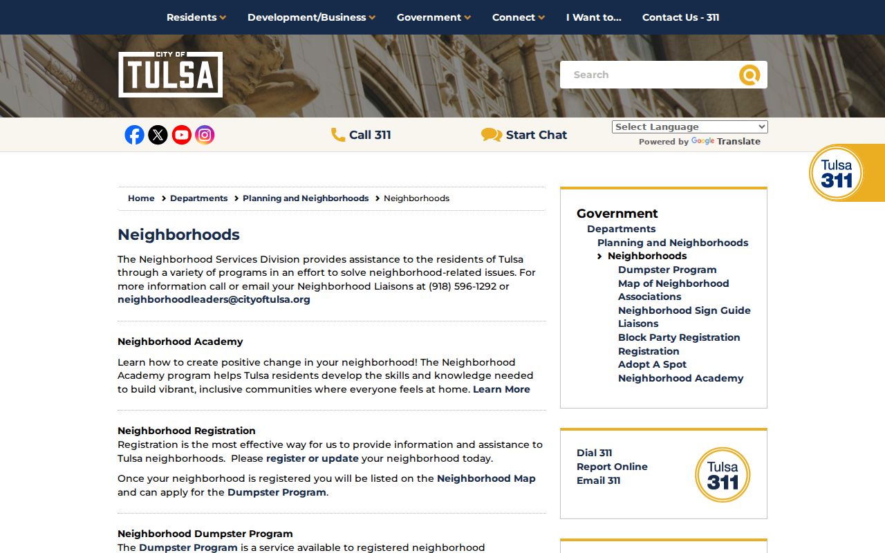
A registered group may publish a contact, boundaries, meeting details, or a website, but those public details should not be recast as a list of residents.
Tulsa Historical Neighbors in Directories
For an older block, use the Central Library Research Center’s city directories and maps after the modern parcel chain is clear. Tulsa city directories run from 1909 to the present with stated gaps in 1945, 1949, 1952, 1962, and 1998. Reverse street access begins in 1912, and Cross Reference Directories begin in 1944. Both are year-specific published evidence, useful for tracing a past address but not a present-day neighbor list.
Start with the reverse street entry for the date in question, then compare the alphabetical entry and the next available year. Pair it with the appropriate Sanborn map, aerial, or historical map when the street number, parcel shape, or building changed. Tulsa Sanborn maps cover 1894 through 1962. A library directory can name a published household contact for its year, while the map can explain the building and street context around it.
The library’s house, building, and neighborhood-history guide brings together maps, aerials, vertical files, and research help when the property trail thins out.
Tulsa Voter Record Privacy
The OK Voter Portal uses an individual’s exact last name, first name, and date of birth. It is not a public street-browse tool. Voter registration records can include precinct, school district, technology-center district, municipality, county, registration date, and participation information, but voting history never reveals ballot choices. Tulsa County’s 2022 precinct renumbering is another reason to check current portal information rather than rely on an old precinct reference.
The Oklahoma voter privacy-programs page describes the protections that can change ordinary lookup expectations.
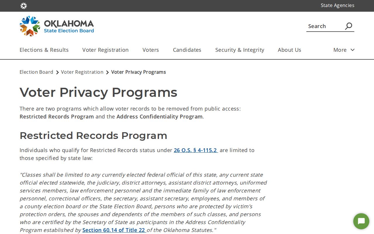
Under the Restricted Records Program, defined officials, safety personnel, protected-order recipients, qualifying family members, and certified ACP participants have restricted access. A portal nonmatch can reflect privacy protection, a spelling difference, or a time and county mismatch. It is not proof that a person is absent from the community.
Tulsa Safety Record Boundaries
Public safety information has its own custodians and limits. The Oklahoma Attorney General’s registry route directs users to the official registry. It is a safety resource with its own search and update rules, not a complete identity directory and not a substitute for an immediate public-safety response when one is needed.
The Attorney General registry route is an official starting point for the registry, rather than an inference drawn from general neighborhood records.
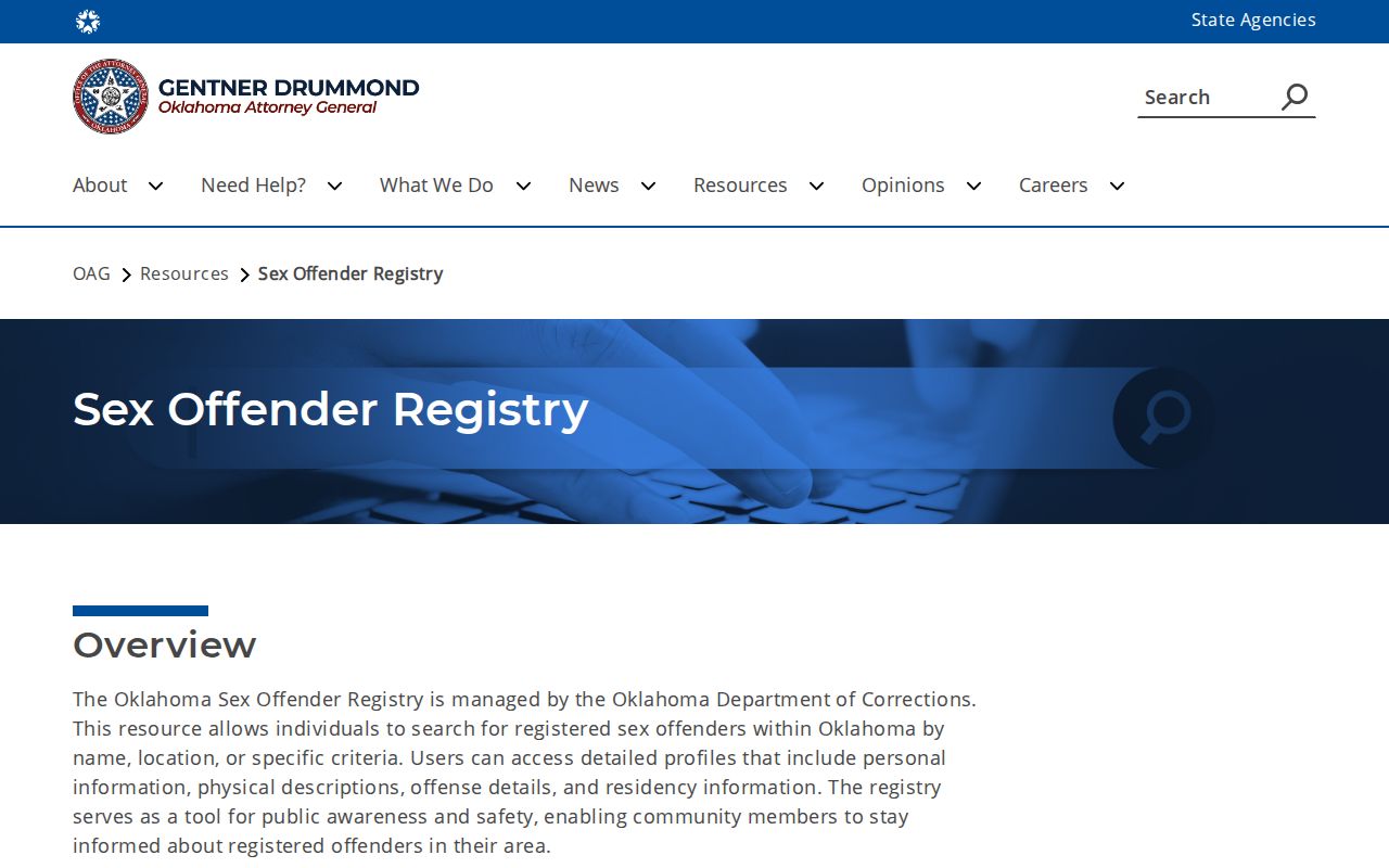
Use the registry’s own terms and current official results. A parcel map, court caption, or neighborhood association contact cannot be used to fill gaps in a regulated registry record.
The Oklahoma Consumer Protection Unit provides a separate official route for deceptive solicitation and scam concerns.
Unexpected messages about deeds, records, or refunds should be verified through a trusted custodian contact rather than a link supplied by an unsolicited sender.
Tulsa Neighbor Lookup Limits
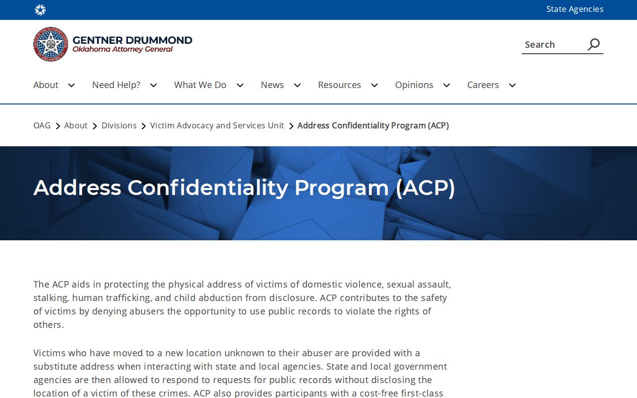
Oklahoma’s Address Confidentiality Program protects qualifying people escaping domestic violence, sexual assault, stalking, human trafficking, or child abduction. The program assigns a substitute address for dealings with state and local agencies and forwards first-class mail. Applicants work through a trained application assistant, and certification lasts four years unless canceled. The program does not expose a participant’s physical address through a routine lookup.
The Attorney General’s Address Confidentiality Program page describes the substitute-address and voter-protection system. The official contact is 866-227-7784 or oag.acp@oag.ok.gov.
ACP voters have no electronic voter file for general public release and vote by absentee ballot. A request to a City, County, or Election Board office does not override ACP protection, a restricted voter file, a sealed court order, or another confidentiality rule.
| Official block records | Commercial neighbor listings |
|---|---|
| Name a custodian, source date, and specific public field such as parcel owner or deed party. | May combine public and commercial data with unclear timing, coverage, or match quality. |
| Allow a researcher to verify an error with the office that created the record. | Do not replace a current check with the Assessor, Clerk, Court Clerk, Election Board, or library source. |
| Respect statutory limits on protected addresses, files, and household data. | Do not create a right to private contact, occupancy, or membership information. |
Lawful use. Tulsa neighbors records are for personal, community, family-history, property, or safety research. Never use an address or record detail to stalk, harass, intimidate, or harm another person.