
Tulsa Previous Residents by Record Era
A backward address trail changes tools as it crosses time. Start at the current parcel card to preserve the situs address, account number, parcel ID, legal description, and sale/document details. Then move from a recorded transfer to the older party or legal description, and use the library’s published address sources to identify a name connected to the address in a given year. The earliest available source is not always the best first source. A recent house may be served by a current parcel record and deed sequence, while a twentieth-century question may need annual directories, cross-reference books, census schedules, maps, and notices.
| Source | Years it covers | Where held | What it shows |
|---|---|---|---|
| Assessor parcel and sales card | Current system, no start date stated | Tulsa County Assessor online and counter | Situs, parcel, legal description, owner and sale/document pointer |
| Acclaim name index | 1928-current | Tulsa County Clerk registered system | Party-based recorded-document route |
| Acclaim legal-description index | 1987-current | Tulsa County Clerk registered system | Parcel or legal-description document route |
| Historical Camera, tract, and plat tools | Separate historical path, full span not stated | County Clerk historical route or counter | Legacy images and tract or plat research |
| Tulsa City Directories | 1909-present, excluding stated gaps | Central Library Research Center | Annual published name and address connection |
| Cross Reference Directories | 1944-present | Central Library Research Center | Street-address and telephone comparison |
| Federal census | Released through 1950 | National Archives and library databases | Household snapshot for an enumeration date |
| Tulsa Sanborn maps | 1894-1962 | TCCL maps and database | Building form, use, and street context |
Keep a simple record for each result: source, date, address as printed, legal or parcel identifier, document number, party role, and any uncertainty. That is more useful than copying a bare name because it makes the next handoff to a custodian or library collection testable.
Start a Tulsa Previous Residents Trail
The free Tulsa County Assessor Property Search is the practical first stop for a current address. Its single flexible search accepts an address, account, subdivision, or owner. The Assessor advises that less is more, so use a broad enough street or address search to get results and then narrow the returned columns. Avoid periods, commas, and apostrophes unless they are part of the record. Select the correct situs, or physical parcel address, before copying the account number, parcel ID, legal description, and the Sales/Documents information.
The property card distinguishes the situs from the owner mailing address. Mail can be sent somewhere other than the parcel, and an owner named on the assessment roll is not proof that the person lived there. The card is assessment evidence, not a title opinion. Its value for a house history is the handoff: a sale row can show a sale date, grantor, grantee, sale price, deed type, and document number to carry into the recorded-land search.
For a current address question that expands into a whole street, use the Tulsa streets lookup path. A prior-address trail stays focused on one parcel and its dated transfers.
Past Tulsa Residents and Clerk Cutoffs
The Tulsa County Clerk Acclaim land-record route is a registered, fee-based system rather than a complete free title archive. County materials describe its name index as beginning in 1928 and its legal-description index as beginning in 1987. The difference is important. A search using the current legal description can work for the later period, while an older transfer may need the prior owner’s name, a book or tract reference, the Historical Camera route, or help at the Clerk counter.
| Name index | 1928-current, useful when a grantor or grantee name is known. |
|---|---|
| Legal-description index | 1987-current, useful for the parcel or legal description carried from the Assessor. |
| Parcel search controls | Parcel number, optional document type, date range, and Starts With, Contains, or Exact matching. |
| Older paths | Historical Camera, historical tract or condo material, grantor-grantee or plat resources, counter assistance, and targeted requests. |
This split is the local comparison that prevents a common mistake: a no-result legal-description search before 1987 does not mean a property has no earlier recorded history. Preserve the document number and recording date from every confirmed transfer. The Clerk’s land-records channel can be reached at 918-596-5801, selection 3, or landrecords@tulsacounty.org when the web route does not answer a narrow question.
Note: County land indexes guide a historical search, but they do not replace a legal title conclusion.
Trace Tulsa Past Residents Through Deeds
A chain of title follows recorded transfers through the parcel and legal description, not just the present street number. Start with the current sale pointer on the Assessor card. The grantor in the current owner’s acquisition is the earlier transferor. After confirming that document, use the older party name and the same parcel context to locate the preceding acquisition. Subdivision replats, address changes, and a missing link can interrupt the sequence, so retain the document number, recording date, instrument type, and party role at every step.
- Confirm the correct situs address and copy its account, parcel ID, legal description, and current owner from the Assessor.
- Record the sale date, grantor, grantee, deed type, and document number from the Sales/Documents table.
- Search Acclaim by the available name, parcel, legal description, document type, or recording-date range.
- Use the prior grantee as a new search point, then test the legal description and recording date against the older transfer.
- Move to Historical Camera, tract or plat tools, the Clerk counter, or a targeted request when online coverage ends.
- Grantor
- The party transferring an interest in a recorded instrument.
- Grantee
- The party receiving an interest in that instrument.
- Chain of title
- The sequence of recorded transfers associated with the same property interest over time.
- Legal description
- The lot, block, subdivision, or section-township-range locator used in land records, often more durable than a street address.
Tulsa Previous Residents in Reverse Directories
Deeds identify recorded parties. To learn who was published at an address, shift to the historical directory layer. The Central Library’s Tulsa city directories run from 1909 forward with gaps in 1945, 1949, 1952, 1962, and 1998. Reverse street access begins in 1912, and Cross Reference Directories begin in 1944. Search the exact street in the reverse section, note the name and abbreviations as printed, then compare the entry in the prior and following available year. The full collections and how to read their entries are covered in the Tulsa city directory collections.
For a 1945 gap, compare the 1944 and 1946 books, then add the 1944-and-later cross-reference volume, a telephone directory, a property record, and the released 1940 or 1950 census as appropriate. The 1909-1935 directory run is also available through Ancestry Library Edition at any TCCL location. The openly digitized 1910, 1920, 1921, and 1922 volumes are useful remote checks, but no directory is a complete modern address database.
Process flow: address and directory year → reverse street entry → alphabetical name entry → nearby directory years → census or property record for a dated cross-check.
Tulsa House History Needs Maps Too
When the recorded trail thins, the Tulsa Library house and neighborhood history guide supplies a local fallback. It directs researchers to Sanborn fire-insurance maps, digital historical maps, aerial photographs, books about historic homes, and subject vertical files on homes, architects, buildings, and neighborhoods. The Central Library Research Center can be booked for one hour, 48 hours ahead, at 918-549-7323. That appointment route matters when the useful map, clipping, or file is not online.
Tulsa Sanborn maps span 1894-1962. They can show a building’s outline, size, construction material, height, use, windows, and doors. Aerials from the 1950s and 1960s can show physical change. Neither source names every resident or proves ownership. Pair the map’s year with a reverse-directory entry, a census date, or a recorded document so that a physical observation does not become an unsupported identity claim.
Tulsa Addresses Before the 1908 Resurvey
Street names and numbers can block an otherwise sound historical search. Tulsa’s original townsite was surveyed in 1901, and a 1908 resurvey connected to a new charter changed some original street names and numbering. Main Street and the Frisco tracks shaped the downtown grid, while later additions brought compass and number systems. The result includes a local oddity: downtown has an intersection of 11th Street East and 11th Street East because early and later grid systems diverged.
Before deciding an early address disappeared, compare the period directory with a historical map, plat, and the street-name system in use at the time. North Tulsa, areas beyond Sheridan Road, and former names such as Federal Boulevard require the same caution. A changed address can still point to the same physical history, but it must be demonstrated with dated records rather than assumed from a current map.
Past Tulsa Residents in Census Notices
Federal census schedules provide a household snapshot for the date of enumeration and are released through 1950. Pair a directory year with the nearest released census when a household needs more context. A directory can bridge the years between censuses, but it should not be read as an exact census substitute. If a person appears to have died or an estate was opened, add a dated death notice, a qualifying OSDH vital-index result, or a public probate file. Do not infer a death from a name disappearing from a directory.
The Tulsa Library Death Notice Index provides name, date, newspaper, and page pointers for Tulsa World notices from 1963-1990 and Tulsa Tribune notices from 1964-1990.
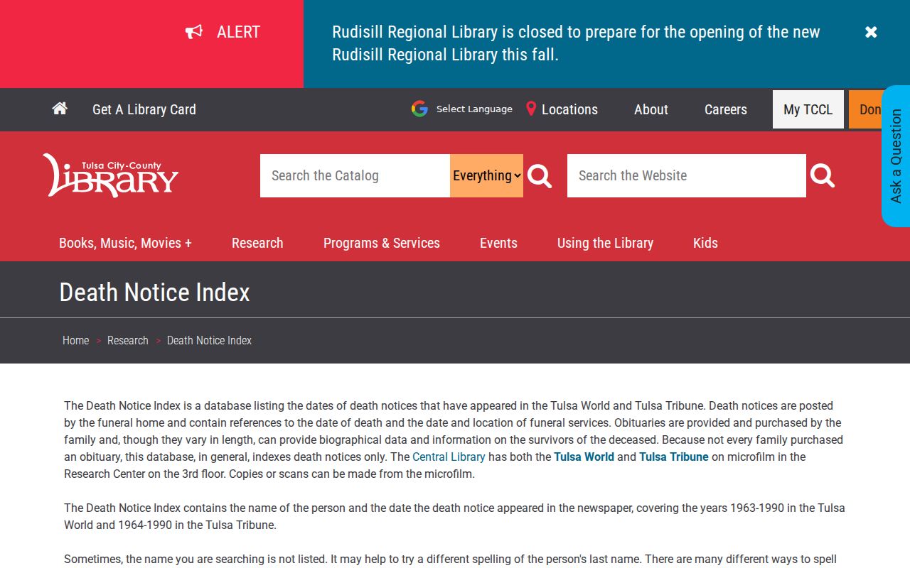
Use the index to reach the Central Library microfilm or a permitted subscription source, then distinguish a death notice from a fuller obituary before recording a conclusion.
A public Tulsa County Court Clerk probate file can identify estate actors or heirs, but the docket caption by itself does not establish kinship. The free OK2Explore index can show whether a qualifying birth or death record is on file. It is not a certificate-release service, and vital certificates remain subject to Oklahoma eligibility rules.
Pre-Statehood Tulsa Land Takes Another Route
The oldest Tulsa-area land questions do not fit a routine county deed search. The Oklahoma Historical Society explains that Indian Territory judicial Recording District books generally were not preserved when counties formed. In affected counties, the earliest land records usually begin in November 1907. For a pre-statehood parcel, turn to Creek or Cherokee allotment material, historical maps, federal or tribal context, the library reference staff, and Historical Society guidance instead of promising a normal Tulsa County chain back into the 1890s.
Oklahoma Historical Society land-record guidance explains this territorial-records limitation.
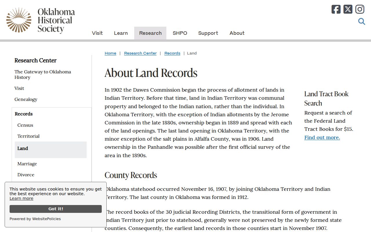
The historical cutoff is a source limitation, not evidence that an earlier family or property connection did not exist.
Tulsa Address History Has Privacy Limits
Past-address research is appropriate for family history, estate work, property curiosity, civic transparency, and other lawful personal uses. It is not a public voter roll or a tool for tracking a living person. The OK Voter Portal verifies an individual only with exact first name, last name, and date of birth. It does not provide a browse-by-street feature. Oklahoma’s Address Confidentiality Program and the Election Board Restricted Records Program protect qualifying addresses and voter material, so a no-match can reflect privacy protection rather than a lack of local connection.
The Tulsa County Election Board is the local contact path for election records and related public-access questions.
Election-record channels may clarify policy or an individual record process, but they do not convert a historical address into a public list of voters.
Lawful use. Keep a Tulsa house-history search tied to documented records and a legitimate personal or historical purpose. Oklahoma law prohibits stalking and harassment, and protected-address rules remain in force even when other records are public.
Tulsa Previous Residents and Public Access
When an online index reaches its coverage limit, use the office that holds the record. For a recorded instrument, call the County Clerk land-records line, email the land-records channel, visit the counter, or use the historical image and tract products. For assessment data or maps, the Assessor accepts data requests and can provide maps, information, reports, or building images under its stated reproduction policy. For a non-confidential County record outside a portal, Tulsa County provides an Open Records request form and supervised inspection during regular business hours.
Tulsa County’s Open Records Act guidance describes its reasonable-access rule and the land-tract-index inspection requirement.
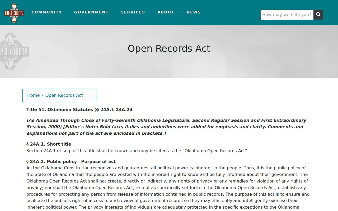
A focused request should name the agency, record type, address or party, date range, and whether inspection or a copy is wanted. The request route does not override vital-record eligibility, a sealed court record, or an address-protection program.
Note: For an older house, move from the online index to the Clerk, Library, map collection, or archives rather than treating a web cutoff as the end of the trail.