
Tulsa ZIP Code Directory by Region
The City of Tulsa 2023 ZIP-region map identifies 27 labels in five planning regions. It is the best local grouping found for organizing a local postal-area lookup, but it is not a roster or a jurisdiction map. A postal zone serves mail delivery. It can cross a City line, and a Tulsa mailing label can lead to a parcel in another county. Confirm an individual mailing address with USPS, then check the situs county and City-limit status before sending a property or records request.
| ZIP | City region or general area | Postal note | Record-search starting point |
|---|---|---|---|
| 74103 | Midtown, downtown core | Tulsa delivery area, verify full address | GIS address match, assessor, City permits |
| 74104 | Midtown, university-adjacent central east | Tulsa delivery area | GIS address match, assessor, City permits |
| 74105 | Midtown, south-central | Tulsa delivery area | GIS address match, assessor, City permits |
| 74106 | North | Tulsa delivery area | GIS address match, assessor, City permits |
| 74107 | West | Tulsa delivery area | GIS address match, assessor, City permits |
| 74108 | East | Tulsa delivery area | GIS address match, assessor, City permits |
| 74110 | North | Tulsa delivery area | GIS address match, assessor, City permits |
| 74112 | Midtown | Tulsa delivery area | GIS address match, assessor, City permits |
| 74114 | Midtown | Tulsa delivery area | GIS address match, assessor, City permits |
| 74115 | North | Tulsa delivery area | GIS address match, assessor, City permits |
| 74116 | East, airport-side geography | Tulsa delivery area | GIS address match, assessor, City permits |
| 74117 | North | May include non-city geography | Confirm City limit and situs county |
| 74119 | Midtown, downtown-west | Tulsa delivery area | GIS address match, assessor, City permits |
| 74120 | Midtown | Tulsa delivery area | GIS address match, assessor, City permits |
| 74126 | North | Tulsa delivery area | GIS address match, assessor, City permits |
| 74127 | North | Tulsa delivery area | GIS address match, assessor, City permits |
| 74128 | East | Tulsa delivery area | GIS address match, assessor, City permits |
| 74129 | East | Tulsa delivery area | GIS address match, assessor, City permits |
| 74130 | North | City map includes it in North | Confirm full address and City limit |
| 74131 | Southwest metro overlap | Crosses City-boundary area | Do not assume City or County jurisdiction |
| 74132 | West | Extends along west and southwest edges | Verify City limit and situs county |
| 74133 | South | Tulsa delivery area | GIS address match, assessor, City permits |
| 74134 | East | Tulsa delivery area | GIS address match, assessor, City permits |
| 74135 | Midtown | Tulsa delivery area | GIS address match, assessor, City permits |
| 74136 | South | Tulsa delivery area | GIS address match, assessor, City permits |
| 74137 | South | Southern edge, verify full address | Confirm City limit and situs county |
| 74145 | Midtown | Tulsa delivery area | GIS address match, assessor, City permits |
| 74146 | East | Eastern edge, verify full address | Confirm City limit and situs county |
The City groups East, Midtown, North, South, and West areas for planning. Its report gives regional population totals, not population totals for each postal zone. Use those regional labels to orient a Tulsa ZIP search, not to infer a resident count or a City record custodian.
Midtown and North Tulsa ZIP Geography
Midtown contains the downtown and central labels 74103, 74104, 74105, 74112, 74114, 74119, 74120, 74135, and 74145. North contains 74106, 74110, 74115, 74117, 74126, 74127, and 74130. The region names are useful research shorthand, but the City map expressly calls for an address-level check at the edges. In particular, 74117 may include geography outside the City, while 74130 requires confirmation of the exact address and City limits.
North Tulsa also sits within a street system shaped by different periods of expansion. The library explains that streets north of Main were named for influential people before numbering expanded, and Apache was named before the series began at 26th Street North. When a historic address and a current postal zone seem inconsistent, compare the dated directory or map rather than trying to make a current ZIP settle an older street-name question.
East Tulsa ZIP Map Matches
East Tulsa includes 74108, 74116, 74128, 74129, 74134, and 74146 on the City map. The airport-side notation for 74116 and the eastern-edge note for 74146 make an address-level match important. Postal geography can direct a researcher to the right part of the City. It does not take the place of a parcel account, legal description, or a documented City boundary.
The City GIS locator is the documented local tool for resolving that uncertainty. It accepts a street address and an optional ZIP selector, then returns one or more matches with a match score. Select the full address, inspect the map position, and then use the destination office’s own key. The Assessor’s public form searches address, account, subdivision, or owner. It does not document a ZIP-wide filter.
South and West Tulsa ZIP Checks
The City’s South region contains 74133, 74136, and 74137; its West region contains 74107 and 74132. The map flags 74137 as a southern-edge area and 74132 as extending along west and southwest edges. A property associated with either zone deserves a City-limit and situs-county check before a request is directed to Tulsa County. Tulsa itself extends into portions of Creek, Osage, Rogers, and Wagoner counties, so the situs county controls the property-record route outside Tulsa County.
Zone 74131 needs the same care. The City maps it as a southwest metropolitan overlap rather than a City-only zone. Do not rely on a Tulsa postal label to decide jurisdiction. The parcel card, City locator match, and jurisdiction information should agree before a researcher asks for a permit, deed, assessment, or local government record.
Note: A ZIP narrows a mailing search, but a parcel’s situs county and City-limit status control the appropriate records custodian.
Find Residents with a Tulsa ZIP
A Tulsa ZIP search is most useful as an address-organizing tool, not as a ZIP-wide people list. First confirm the exact mailing ZIP, then enter the actual address in the City GIS locator. Its optional ZIP field can help distinguish similarly named streets or multiple matches. From the selected map match, use the property, permit, deed, or library resource that fits the question. The Assessor and City permit systems rely on address-oriented fields, while recorded land research relies on the parcel, legal description, document number, or party name.
- Confirm the complete mailing address with the USPS lookup rather than assuming a City postal zone from a neighborhood name.
- Enter the street address in the City GIS locator and add the ZIP selector when it helps distinguish matched results.
- Open the Tulsa County Assessor record for a current parcel question. Preserve the situs address, account number, parcel ID, legal description, and Sales/Documents details.
- Use City CSS by address, type, and date range for permit material, or use the Clerk’s Acclaim route with a legal parcel, document range, or party details for recorded instruments.
- For an individual voter confirmation, use the OK Voter Portal only with the registered first name, last name, and date of birth. It does not provide ZIP browsing.
Once a ZIP match becomes a specific street, the Tulsa street directory has the parcel-by-parcel workflow. For a record that is not available online, use the custodian’s counter, telephone, email, or open-records channel rather than broadening a ZIP search into unsupported assumptions.
Tulsa ZIP Map Fields
The City GIS locator is the only inspected local tool with a documented optional ZIP field. It is a map-navigation tool, not a ZIP roster. Its results can return several addresses and match scores, which is why a full address remains essential. A partial street can be useful when spelling or direction is uncertain, but the selected result must be checked against the target parcel.
| GIS field | Required | How it helps a ZIP search |
|---|---|---|
| Street Address | Yes | Supplies the primary location search. |
| ZIP Code | No | Refines a street-address match. |
| Coordinates | No | Offers a map-based alternative where coordinates are known. |
| Results | Not applicable | Shows no, one, or several matches and a match score. |
The City GIS locator help describes those fields, layers, printing, bookmarks, and the overview map. For an individual registration question, the OK Voter Portal instead requires the person’s name and date of birth, so it cannot substitute for address mapping.
Tulsa ZIPs Beyond City Lines
USPS assigns ZIP Codes for delivery, not for municipal boundaries. That is the central limit of a local postal-area lookup. A Tulsa delivery label does not prove that a parcel sits within the City or even within Tulsa County. The City map marks 74131 as a boundary-overlap area and flags several edge zones for address-level confirmation. Check a full mailing address before relying on it, then use the parcel’s situs county for property work and the relevant City or county office for the requested record.
- ZIP versus ZIP+4
- A ZIP identifies a delivery area. ZIP+4 adds a smaller delivery segment to a full mailing address.
- PO-box ZIP
- A ZIP used for post-office boxes rather than proof of a physical parcel location.
- Unique ZIP
- A postal designation used for one organization or destination; none is assumed here without USPS confirmation.
- Carrier route
- A delivery path within a postal area, not a legal parcel or municipal-boundary description.
The USPS ZIP Code Lookup is the appropriate place to verify a mailing ZIP for a full address.
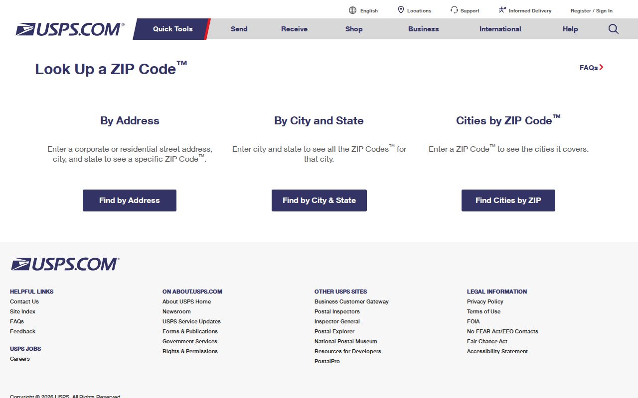
Confirming the postal pairing is the first check. It still does not replace a GIS match, parcel lookup, or City-limit verification for Tulsa records.
Tulsa Street Grid Postal Quirk
Postal areas overlay a city with a much older and irregular address history. Tulsa’s downtown has the unusual intersection of 11th Street East and 11th Street East because early and later grid systems diverged. The Frisco tracks and Main Street set the early downtown divides, while a 1908 resurvey and later expansion changed names and numbering in some areas. That local quirk matters when a historical address is being mapped to a present postal area.
The Tulsa Library area FAQ records the street-grid explanation.
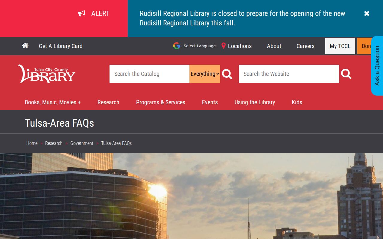
For an old address, pair the correct year’s directory or map with the historic street-name system before applying a current Tulsa postal label.
Tulsa ZIP Record Keys
Postal ZIP, situs address, parcel ID, and legal description answer different questions. The situs is the physical assessed parcel. The parcel ID and account number identify the county record. The legal description connects land to deeds, plats, and recorded instruments. ZIP is an optional City GIS filter and a delivery geography. A current property search should therefore begin with the exact address, while County Clerk Acclaim work may need a legal parcel, document type, date range, instrument number, or party name.
The Tulsa County Assessor Property Search is the free current-address starting point. Its property card can lead to the sales and document details needed for the Clerk’s separate land-record route. For a City permit question, CSS accepts type, address, and date range, not a ZIP-only query. Those limits keep a ZIP search accurate and prevent a postal label from being treated as a substitute for a verified record key.
Note: For a location outside Tulsa County, follow the property’s situs county even when the mailing address uses a Tulsa postal zone.